Our website uses cookies. Functional cookies are necessary for the operation of our website and cannot be disabled. To improve our website, you can also allow non-functional cookies. More information can be found in our privacy policy.
Orientation trail
Orientating can be taught ...
What?
A playful way to get acquainted to orientation for young and old.
With a map to hand, searching for the correct plate, either in the determined order or not.
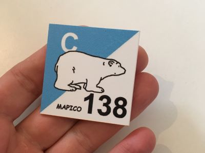
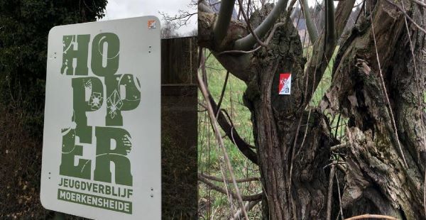
The plates have a size of 5 x 5 cm are hanging at about 2m height, on trees, stkes, buildings, ... and are spread among the forest and its immediate environment. No need to walk along the road!.
For whom?
The simple assignments are suitable for kids from 6 years onwards.
Several difficulty levels make sure it is also challenging for youngsters and adults.

How?
Participants receive, individually or in teams of 2, a map at scale of 1/3000 (1cm = 30m) of the forest and its immediate environment, on which a number of checkpoints are indicated.
Also, they receive an assignment they have to complete properly and as quickly as possible, either in the determined order or not.
For some of the assignments, check strips are provided, on which things can be written.
At the assignments with poles, the right cage should be stabbed.
All solutions are forwarded to the supervisor or leader, for evaluation afterwards.
8 exercises also have several alternativ versions.

